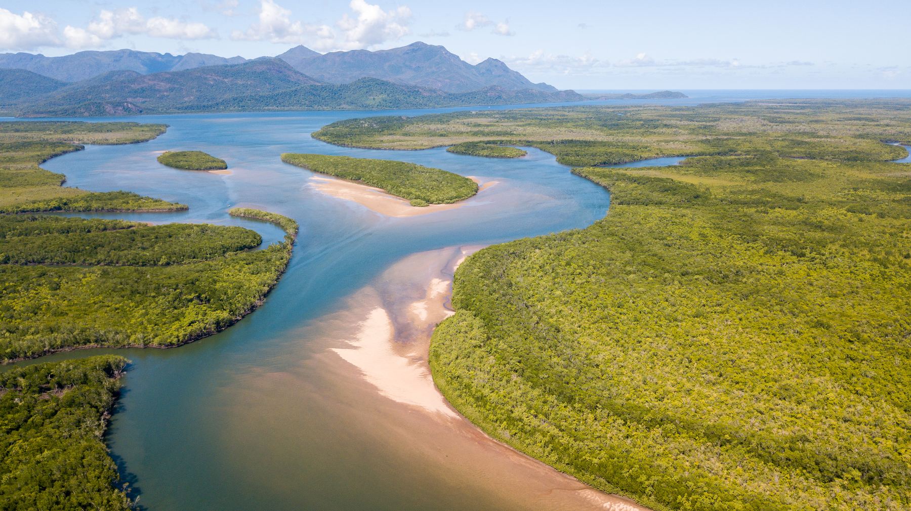
ESCPs, flood modelling, mine water balances, soil and erosion assessment - delivered with direct senior involvement. Need the terrain too? FWS also delivers M400 + L3 UAV LiDAR survey and analysis.
Engage FWS for a single plan, model, assessment or UAV LiDAR survey - or combine services when a problem crosses disciplines.
01
Water Management & Mine Water
Goldsim water balances, Water Management Plans and water-quality assessment to test operating options, manage site water and support approvals and closure decisions.
Goldsim mine water balances
EA Water Management Plans
Mine and dam inventories
Water release investigations
PRCP water assessments
Mine rehabilitation and EA amendments
Climate and operational scenarios
Relevant Project Experience
Goldsim water balances and Water Management Plans for disused and care-and-maintenance metalliferous mines
Water-harvesting and options assessment for six dam locations and configurations
Mine-water dilution, receiving water assimilative capacity and release assessments for coal and metalliferous EA amendments
ESCP preparation and review incorporating 2D hydraulic modelling
Third-party water-balance calibration and operational water-inventory spreadsheets
Field measurements for landform evolution modelling and erosion-rate assessment
Flood modelling for mines and infrastructure, catchment hydrology and hydraulic assessment to understand flood behaviour, compare options and inform design. We can capture the LIDAR required for our, or others' flood models in remote areas, reducing model errors and assumptions by collecting the terrain data ourselves rather than relying on third-party or coarse public data.
TUFLOW flood modelling
Flood investigations
HEC-RAS hydraulics
Catchment hydrology
Flood hazard and afflux
Crossings and drainage
PRCP flood assessment
Relevant Project Experience
Urban TUFLOW flood investigation across a floodplain influenced by three river systems
Bridge and culvert flood modelling across two river systems and a tidal floodplain
Mine levee and closure flood modelling for PRCPs and EA amendments
TUFLOW scour, erosion and deposition assessment for river restoration
Council flood-model updates to test proposed developments
Flood modelling for linear infrastructure - multiple bridges in sequence, hundreds of culverts, channel realignments
Certified Erosion and Sediment Control Plans, reviews and site inspections, with soil assessment and amelioration advice for practical construction and erosion control outcomes.
Erosion and Sediment Control Plans
CPESC review and advice
Construction inspections
Control siting and sizing
Soil amelioration
Gully erosion support
Relevant Project Experience
Detailed-design ESCP for an urban levee and training wall
Operational ESCPs for three coal mines
Wind farm ESCP for turbine pads, access tracks and waterway crossings
ESCP for municipal waste-asphalt and flood-debris management
Construction ESC advice for drainage-channel naturalisation
Gold mine ESC strategy, including diversion drains, check structures and sediment-basin sizing
Solar farm subsoil erosion diagnosis, monitoring and amelioration
Specialist DJI Matrice 400 + Zenmuse L3 UAV LiDAR surveys and advanced processing - strip alignment, advanced point-cloud classification and vegetation structure metrics. Commission point clouds and terrain products on their own, or combine them with FWS analysis for repeat change detection and erosion trajectories.
M400 + L3 UAV LiDAR
Strip Alignment & Control
Advanced Point-Cloud Classification
Vegetation Structure Metrics
Thermal & Nocturnal Fauna Surveys
Repeat Change Detection
Relevant Project Experience
Multiple 15-25km² UAV LiDAR capture and processing projects
Abandoned-mine LiDAR terrain and storage inputs for Goldsim calibration and options assessment
Thermal koala, greater glider and pest-animal surveys across 250km2 mining offsets
200+ photogrammetry, orthomosaic and mapping projects
Repeat drone photography and video for industrial and environmental restoration construction monitoring
Repeat drone photo acquisition over multiple years
Drone borne bathymetry for difficult to access areas (mine pits etc)
Creation of catchment-wide historical aerial orthomosaics from thousands of existing photos for river and land use change analysis
Water-quality, receiving-environment and site condition investigations that turn monitoring results into an explanation of change and management implications.
Drone thermal UAV fauna assessments
Environmental monitoring
Water and land condition
Soils and vegetation
Environmental offsets monitoring
Repeat photography
Compliance evidence
Relevant Project Experience
Triggered monitoring at 12–15 freshwater and estuarine sites, with automated analysis and advice
Remote surface-water and sediment sampling across 40+ sites
Mine rehabilitation inspections and domain-specific completion criteria
Pit-lake water-quality sampling and depth profiling for release assessments
Drone thermal UAV fauna targeted assessments for koalas, glider and pest monitoring
Assistance with BioCondition transect monitoring and data assessment
The value is in translating the environmental question into an engineering answer - not leaving either side to guess.
01
Put An Erosion Plan Into Practice
Get ESCPs and soil assessment that fit the site, the construction sequence and the erosion processes - with practical fixes when existing controls aren't working.
ESCP
CPESC
Soil Assessment
Amelioration
02
Understand Erosion Before You Treat It
Work out erosion hotspots across a catchment to target the best value-for-money returns. Use geomorphology, hydraulics and soil evidence to work out why an area is eroding and inform the design brief.
Geomorphology
Gully Erosion
Erosion Diagnosis
Site Prioritisation
03
Get Terrain You Can Build On
Commission M400 + L3 UAV LiDAR capture and advanced processing - strip alignment, classification, vegetation metrics - on its own, or combined with FWS modelling and analysis.
M400 + L3
Strip Alignment
Vegetation Metrics
Advanced Classification
04
Make A Mine Water Decision
Evaluate storage levels and trends over time, test water treatment or disposal options in a Goldsim water balance, obtain future risk predictions, determine flood levels for a levee, or work out the right erosion mitigation solution.
Goldsim
Water Quality
Water Management Plans
PRCP
Who We Work With
Mine Environmental Officers
Get water-management answers and ESCPs translated into terms your operations and approvals teams can act on - no hydrology degree required.
Government & Councils
Understand flood and waterway risks and plan environmental works, with documented findings to support design and procurement decisions.
Civil, Infrastructure & Renewables
Get the flood, drainage, soil and erosion inputs your design needs - scoped right the first time, by someone who's sat on the environmental side too.
NRM & Land Managers
Turn a catchment objective into a scoped, engineered response - diagnosis, prioritisation and monitoring, in language your funding body expects.
Environmental & Engineering Consultants
Add senior water, erosion, geomorphology or UAV LiDAR capability to your team, from someone who's worked both sides of the scope.
Site Understanding From the cause of the problem to the practical response
Direct Senior Involvement
Where Environmental Insight Meets Engineering Delivery.
An environmental officer often doesn't know what an engineer needs. An engineer delivers exactly what's scoped, then moves on. FWS works from inside both worlds - so the brief captures the real problem, and the deliverable holds up on both sides.
Bring an existing model, commission a defined study, or have FWS collect the evidence too. The work is scoped to what your team needs to deliver.
A Report Is Part Of The Job. A Usable Answer for On-Ground Action Is The Point.
Recommendations need to make sense on the ground as well as on paper. FWS explains the options, assumptions and limitations so your team can plan works, support an application or decide where to invest next.
RF
Director · Principal Environmental Scientist
Science For Engineers.
Reece Fraser brings 18 years across environmental consulting, engineering and mining - the last 10 inside environmental and water-resource engineering delivery. That's enough time on both sides to know an environmental officer and an engineer can talk past each other on the same problem. FWS closes that gap: turning the environmental question into a scope an engineer can act on, and the engineering deliverable into evidence you can use. You get direct access to that experience, backed by a trusted partner network for additional expertise or certification.
Professional Credentials
Certified Professional in Erosion and Sediment Control (CPESC)
Registered Soil Practitioner – Erosion and Sediment Control (RSP-ESC)
Project PartnersFWS works with trusted Registered Professional Engineers of Queensland (RPEQs) and licensed surveyors where project requirements call for their input or certification.
FWS has strong relationships to deliver larger, integrated scopes of work. Our network includes:
Terrestrial Ecologists
Aquatic Ecologists
Civil RPEQ Engineers
Registered Surveyors
UAV, Geospatial and Remote Sensing Specialists
Environmental Approvals Experts
Discuss Your Project
What Does Your Team Need To Resolve?
Send through your brief, the issue you are working on or the survey coverage you need. Include any existing information, required outputs and timing, and we can discuss a practical scope.